



Review site constraints before the first sketch.
Bring available planning records and environmental evidence into your site review. Check source dates, local coverage and unresolved questions before shaping the brief.
Request early access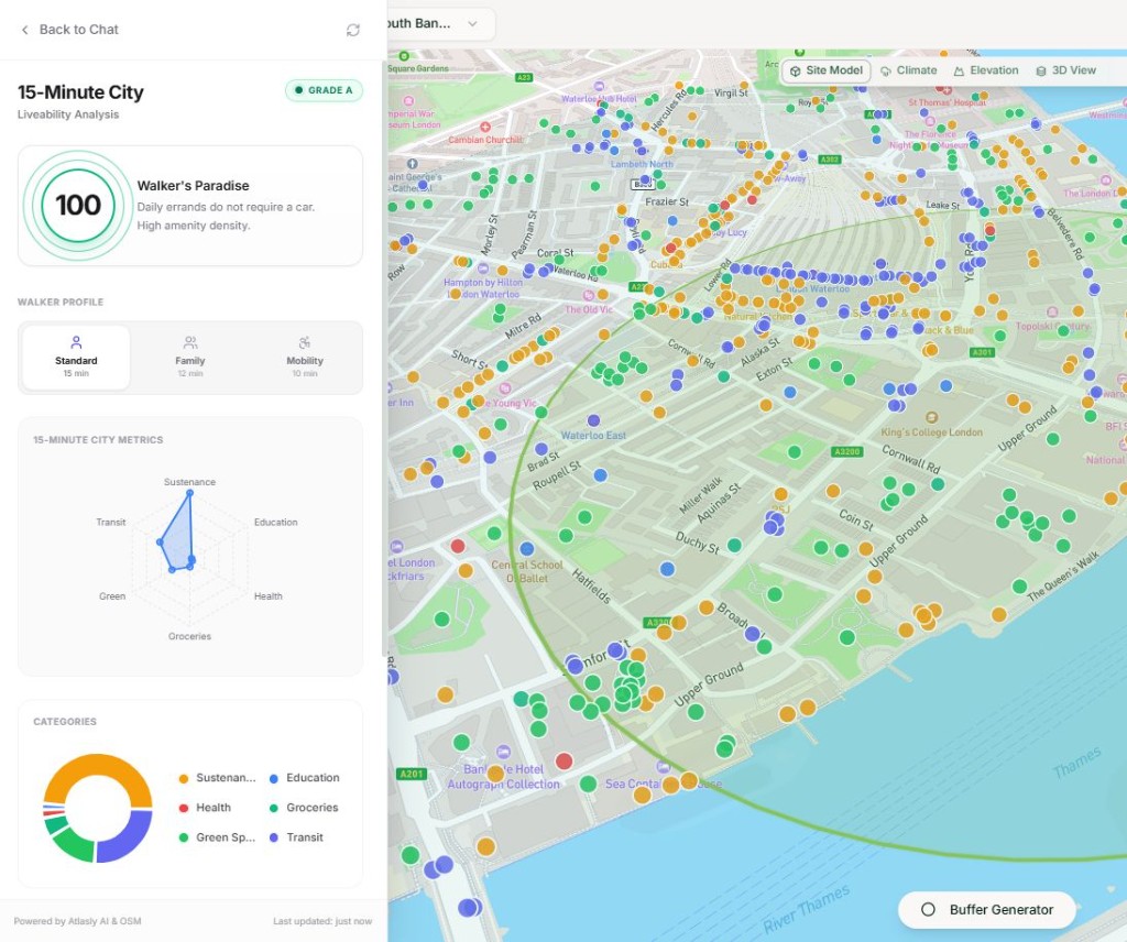
Planning intelligence, on demand.
Search the available policy library and follow references to the source documents. Confirm the current adopted policy and its applicability with the relevant authority.
Request early access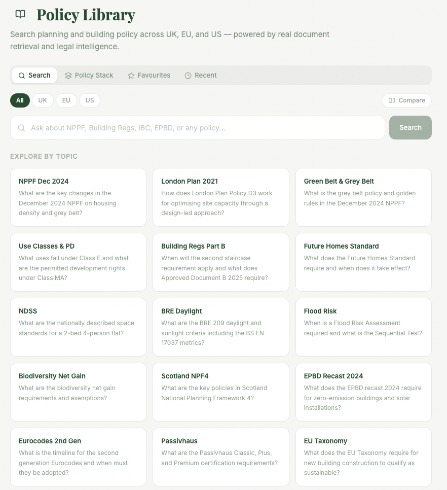
Built for architects, powered by AI.
Evidence to support your first site review.
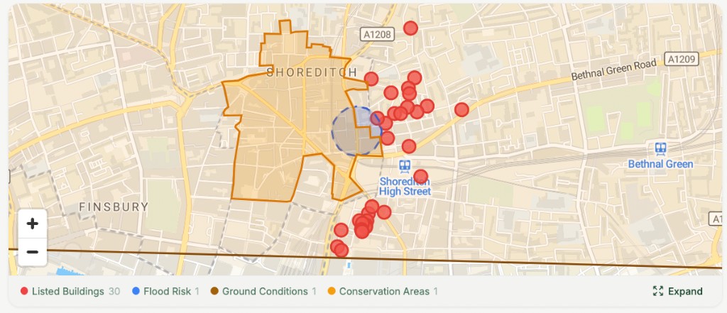
Constraints on the map
Listed buildings, conservation areas, flood risk and more, where available, layered on street maps for a first review.
Design handover
Review supported exports in your design tools. Check the format, units and placement in the receiving application.
 Revit
Revit AutoCAD
 SketchUp
 Rhino
Rhino ArcGIS
 QGIS
QGISSpeaks your language
UK planning policy, local authority data, NPPF-aware analysis. Built for the way architects actually work in the UK.
Site review workflows
15-Minute City

Explore nearby daily services and walking catchments. Check the route method, access barriers and missing amenities before using a score in your site review.
Ask. Reason. Design.
Explore available planning and terrain evidence, ask follow-up questions, and review the sources behind a finding. Confirm important constraints with the relevant authority or specialist.

- •“Run a constraints check here” : review available flood, heritage and conservation-area evidence
- •“Show me the tall buildings cluster” : review surrounding height and massing
- •“Go back to Manchester” : return to your Ancoats project site
- •“Compare massing” : compare a design option with the available site context
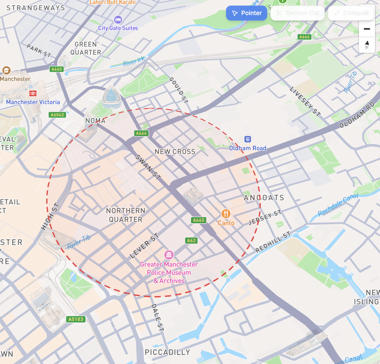
Site analysis inside your chat.
Connect Atlasly to a compatible assistant and explore available site information in the conversation. Review the returned sources and coverage for the location you are researching.
https://mcp.atlasly.app/mcpPublic access without an API key · UK focus · Coverage varies
27 public checks listed · no account needed
/atlaslyYour first question
Appraise [address] for [use] at [stage]
Start with an address and review the available evidence, source links and unknowns. Check coverage and account permissions before saving or monitoring project work.
Power-user setup
Detects Codex, Claude Code, and Cursor, then installs the Atlasly action and connection safely.
curl -fsSL https://atlasly.app/install | shMainstream setup still needs only the connector link above. The command is optional for people who work in local coding tools.
Open your AI's settings
In Claude, ChatGPT, or your AI of choice, find the Connectors or Custom Tools menu.
Paste the Atlasly link
Add a custom connector and paste the link below. No install, no download.
Ask about your site
Run /atlasly or ask: "Appraise [address] for [use] at [stage]". Public checks need no Atlasly account; source coverage varies.
 Claude· Desktop + Web
 ChatGPT· Pro plans
 Perplexity· Via custom tools
Draw a line. Get a living cross section.
Explore the street in section. Review the geometry and the assumptions together.
Draw a transect to explore available street and terrain context. Missing dimensions and inferred features need checking against source records or measured information before design coordination.