

Atlasly for QGIS: the AI GIS analyst that checks its own work
Ask the question. Get the analysis, the map and the method. Meet Atlasly: an AI assistant inside QGIS that takes geospatial work from first layer to finished deliverable.
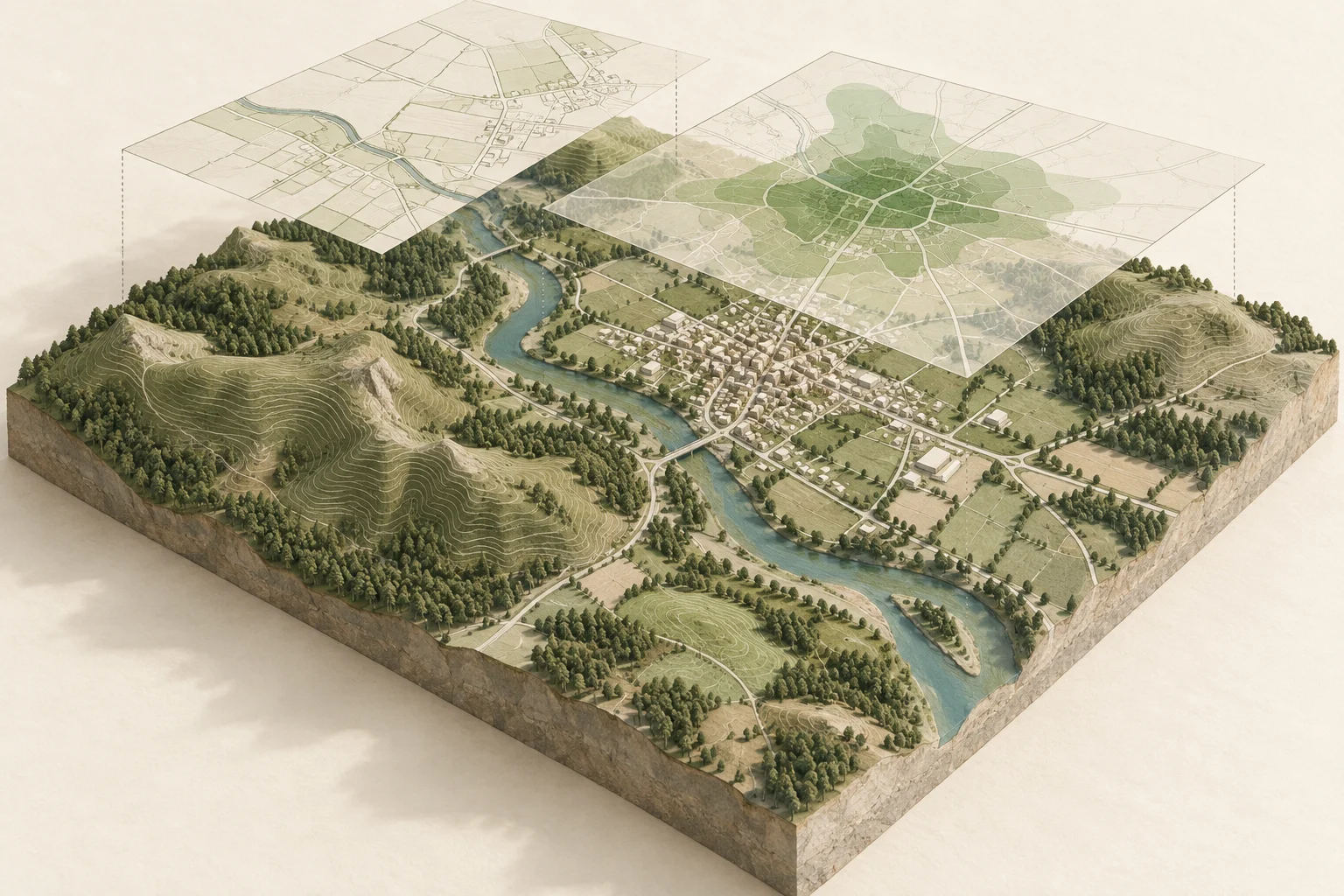
Quick answer
Atlasly for QGIS is an AI GIS assistant that loads, cleans, analyses, styles and exports geospatial data from natural-language requests. It works inside QGIS, combines 114 purpose-built tools with your installed Processing algorithms, and checks results against their source data. You get editable layers, finished maps and a record of how the work was done.
The question is straightforward: which sites meet the brief? What drains into this river? Who can reach the new facility? The work behind the answer can mean finding data, fixing a coordinate system, joining tables, running analysis and building a layout before you can share anything useful.
Atlasly brings that work into one conversation, inside QGIS. Describe the outcome you need. It works through the data, runs the analysis, checks the result and helps turn it into a map or report you can use.
Your project stays in QGIS. Your outputs stay editable. Your next question picks up where the last one left off.
114 GIS tools · 52 curated data sources · 13 interface languages · Open-source plugin
What can an AI GIS agent do in QGIS?
Atlasly handles the connected workflow: bring data in, understand it, prepare it, analyse it and present the result. It uses QGIS’s own tools, including installed Processing providers such as native QGIS, GDAL and GRASS.
Start with the job you need done:
| Your request | The work Atlasly carries out | Your deliverable |
|---|---|---|
| “Clean this dataset and join the site schedule” | Profile fields, check geometry, remove duplicates and report matched and unmatched records | A cleaned layer with a join report |
| “Screen these site boundaries against planning constraints” | Load relevant sources and check overlap with each full boundary | Styled constraint layers and an evidence record |
| “Find the catchment draining to this point” | Prepare the elevation data, calculate flow and delineate the catchment | A catchment layer with checked area measurements |
| “Compare vegetation across these two dates” | Prepare imagery, calculate indices and analyse change | A change map ready to inspect |
| “Make an atlas with one page per site” | Build the layout, add map furniture and required attribution, and export the pages | A PDF atlas |
For an experienced GIS analyst, that means less repetitive setup between the question and the result. For someone still learning QGIS, it means a way to work through a real task while seeing the steps along the way.
A GIS assistant that shows how it reached the answer
Good GIS work needs more than a convincing reply. It needs the right coordinate system, the right operation and a result you can trace back to the data.
Atlasly checks operations with rules written in code. A clipped result is checked against its boundary. A join reports its match rate and unmatched keys. A reprojection is checked by transforming back and measuring the difference. Raster checks examine resolution and NoData handling.
For supported measurements, it also uses independent cross-checks: areas measured on the ellipsoid and in a projected grid, catchments checked by cells and polygons, and routes compared with QGIS’s shortest-path calculation.
The answer carries its evidence. Numbers in the reply are checked against analysis results; values that cannot be traced are flagged. Source citations lead to records of the inputs, method, parameters and checks. When the data cannot establish an answer, Atlasly tells you what is missing.
The docked panel makes the work visible as it happens. Review each step, use Show on map to find the result, or compare before and after. You can follow the reasoning without losing your place in the project.
Get from messy data to a useful starting point
Atlasly works with GeoPackage, Shapefile, GeoJSON, CSV, GeoTIFF and other QGIS-supported data, alongside map and feature services including WMS, WMTS, WFS, WCS, ArcGIS REST and OGC API services.
Its curated catalogue brings together 52 open-data sources, with licence and attribution details. These include Environment Agency, Natural England, Historic England, ONS, OS, BGS and Coal Authority sources in the UK, alongside Copernicus DEM, ESA WorldCover, Overture and selected European and US sources.
Before analysis, ask it to profile your layers. You can check fields, types, missing values, ranges, duplicates, geometry validity and coordinate systems in one workflow. Then fix geometry, split multipart features, check topology or join a spreadsheet with a clear account of which records matched.
Coordinate handling is part of the work. Atlasly checks distance units, distinguishes map projection from ground measurement and supports the OSTN15 transformation grid for Great Britain. The aim is simple: start the analysis with data you understand.
Try “Check these layers, explain anything that needs attention, then prepare them for an area comparison.”
Screen sites and explain what the map means
For planners, architects and development teams, the useful output is a clear account of what affects a site.
Atlasly can screen site boundaries against planning designations, calculate overlaps and organise the results into layers and reports. It checks the whole site polygon, so an issue crossing one edge is not lost because the centre of the site falls elsewhere. Classification labels come from defined rules rather than improvised wording.
An evidence record keeps the source, retrieval date, coordinate reference system and method alongside the finding. Generate a plain-English method statement to explain how the screening was carried out, then build a map with the relevant attribution.
Try “Check these sites against the available planning designations, show the overlaps and prepare a constraints map with a method statement.”
These workflows support site appraisal and professional judgement. For the wider review around a map, read our pre-construction site analysis guide.
Explore terrain, catchments and environmental change
Environmental work often moves between elevation, imagery and boundaries. Atlasly brings those tasks together in the same QGIS conversation.
Terrain and hydrology. Create slope, aspect, hillshade and contours; calculate zonal statistics; examine visibility; or estimate cut-and-fill volumes. For drainage work, follow a sequence from sink filling to flow direction, flow accumulation, streams and catchment delineation. Catchment areas are cross-checked, and gaps in elevation data are treated as missing information rather than assumed outlets.
Try “Delineate the catchment upstream of this point and show the area, streams and method.”
Imagery and remote sensing. Search and load Sentinel-2 imagery, mask clouds, calculate NDVI and other indices, classify land cover and map change. Classification workflows can include accuracy measures and a confusion matrix, so the output comes with information you can use to assess it.
Try “Compare vegetation across these two dates, mask clouds and map the change.”
The result remains part of your QGIS project, ready for closer inspection, further analysis or presentation.
Answer questions about access, routes and service coverage
Where should the next facility go? Which neighbourhoods can reach it? Which existing service is closest?
Atlasly supports service areas, routes, travel-time matrices, closest-facility analysis and choosing locations for services. It can check network health and account for one-way streets and door-to-door distances, with the assumptions and checks recorded.
Try “Create walking service areas around these facilities and identify the neighbourhoods outside them.” Or ask “Compare these candidate locations using the road network and show the method.”
For transport, infrastructure and public-sector teams, that turns a chain of network operations into a question you can explore and refine. You retain the network, the outputs and the basis of the comparison.
Finish with a map you want to put in front of people
Analysis becomes more useful when people can read it. Atlasly can style layers, set categories and graduated colours, add labels and use colour-blind-safe palettes. It renders maps and checks for label collisions and colours that are difficult to distinguish.
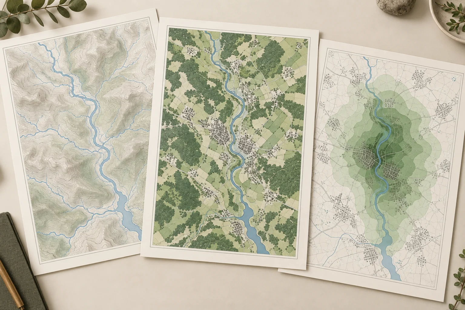
Editorial illustration of GIS deliverables; not a QGIS screenshot or measured site analysis.
Ask for a print layout with a legend, scale bar, north arrow and source attribution. Build an atlas with one page per feature. Add layout tables. Export PDF, PNG or georeferenced GeoPDF, or prepare an HTML or PDF report.
Required attribution is part of the layout check. The output is checked for missing credits and placeholder text before it is treated as ready.
Try “Create an A3 landscape map with a legend, scale bar, north arrow and source credits, then prepare it for PDF export.”
For a portfolio of sites: “Use this layout to create one page for each site, with its name and summary table.”
Turn a good GIS conversation into a repeatable workflow
The second time you need the same analysis should build on the first.
Atlasly can turn a conversation into a QGIS Processing model and a Python script, then rerun the workflow to check that it reproduces the result. You own the reusable files. Batch-run a saved workflow across multiple inputs, with a trial on a sample before a larger job.
That is useful for recurring site screening, monthly data updates, repeated map production and consistent analysis across a portfolio.
Try “Save this workflow so I can run it on next month’s dataset.”
Preferences such as units, naming and house style can carry across conversations. New results are grouped by request and saved to GeoPackage files, so the useful work stays with the project.
Stay in control of changes and sensitive data
Atlasly gives you review, balanced and autopilot approval modes. Changes to your own source files require permission, and request checkpoints let you return to an earlier project state. Feature edits use QGIS’s undo stack.
For sensitive geospatial work, Restricted mode keeps geometry, extents, attribute samples and images on your machine. A What was sent log shows the information shared with the AI service. You can use your own Anthropic key or a private endpoint; Restricted mode controls data sharing rather than making a cloud service run offline.
Credentials use QGIS’s encrypted storage, and shared packages remove credentials. This gives teams practical controls around both the analysis and the information used to perform it.
The interface is available in 13 languages, including English, Spanish, French, German, Italian, Portuguese, Dutch, Polish, Turkish, Japanese, Chinese, Korean and Arabic.
Built around QGIS, with open and portable outputs
Atlasly is built for QGIS 3.34 and later, with a compatibility layer for QGIS 4. The plugin is distributed as a single ZIP and licensed GPL-2.0-or-later. AI service usage is separate from the open-source software licence.
Work can continue beyond the desktop: prepare QField-ready packages, export self-contained web maps with attribution, or use the same tools from compatible AI applications through a local connection.
The engineering brief records 806 automated tests and a 106-task GIS-Bench suite covering analysis, complete deliverables and requests that require clarification or approval. The benchmark inspects layers, geometry, attributes, layouts and exported files—the actual work a GIS user needs to receive.
If your design work also happens in Rhino, explore Atlasly for Rhino. Both products bring natural-language requests into the applications where you already work.
How to choose an AI assistant for QGIS
Choose around the work you need to deliver. Look for an assistant that can use your installed tools, explain the method, preserve your source data and leave you with outputs you can edit and repeat.
Atlasly brings those priorities together:
- A connected workflow: data preparation, analysis, cartography and export in the same project.
- Checks you can inspect: measured results, source citations and method statements.
- Control over your data: approval modes, checkpoints and restricted sharing.
- Work you keep: GeoPackage outputs, Processing models, scripts and portable maps.
That is the promise behind Atlasly for QGIS: spend more of your attention on the question, with an assistant that carries out the steps and shows you the work.
Illustrative example
A planning team has a spreadsheet of candidate sites and a set of boundaries. They ask Atlasly to check the layers, join the schedule, screen the sites against available designations and create one map page per site. The deliverable brings together editable results, cited sources and a reusable workflow for the next batch of sites.
Frequently asked
Is there an AI assistant for QGIS?
Yes. Atlasly is an AI assistant built into QGIS. It uses natural-language requests to load and clean data, run GIS analysis, style layers and prepare maps and reports, with checks and evidence records alongside the results.
How do I use AI in QGIS with Atlasly?
Open Atlasly in QGIS and describe a task in its panel. Review the proposed work and any approval requests, inspect the resulting layers, then continue the analysis or export a deliverable. Register for early-access availability and setup details on this page.
How does Atlasly check GIS analysis?
Atlasly applies checks to operations such as clipping, joins, reprojection and raster processing. Supported measurements receive independent cross-checks, and numbers in replies are traced to analysis results. Unverifiable values are flagged rather than silently treated as established facts.
Can Atlasly create maps and atlases automatically?
Yes. It can style layers, add labels, build print layouts and generate an atlas with one page per feature. Layouts can include a legend, scale bar, north arrow, tables and required source attribution, with PDF, PNG and georeferenced GeoPDF export.
Can Atlasly delineate catchments and calculate NDVI?
Yes. Hydrology tools cover terrain preparation, flow direction, accumulation, streams and catchments. Imagery workflows cover Sentinel-2 search and loading, cloud masking, NDVI and other indices, classification and change detection.
Can I reuse a workflow created with Atlasly?
Yes. A conversation can become a QGIS Processing model and a Python script. Atlasly can rerun the saved workflow to check reproducibility and batch-run it over multiple inputs.
Does sensitive GIS data leave my computer?
In Restricted mode, geometry, extents, attribute samples and images stay on your machine. The What was sent log shows information shared with the configured AI service. The service may run in the cloud or at a private endpoint; Restricted mode is not a claim of fully offline AI.
Is Atlasly for QGIS open source?
The plugin is licensed GPL-2.0-or-later. AI provider usage is separate and may incur charges. You retain editable project outputs, saved Processing models and generated scripts.
Which QGIS versions is Atlasly built for?
Atlasly is built for QGIS 3.34 and later and includes a QGIS 4 compatibility layer. Confirm compatibility with your QGIS build and installed Processing providers when setting up early access.
Can I undo changes made by Atlasly?
Atlasly takes checkpoints before requests and uses QGIS’s undo stack for feature edits. Changes to your own source files require permission, so you can review consequential work before it is applied.
Conclusion
Your next GIS workflow can start with a sentence. Bring the question to Atlasly, follow the checks, and take away the layers, maps and method you need to move the work forward. Join the QGIS early-access waitlist below.
QGIS 3.34+ · Open-source plugin
Your next GIS workflow starts here.
Join the Atlasly for QGIS early-access waitlist. We’ll email you when access is available, with details on getting started.
To withdraw your request, email [email protected]. No invitation date is guaranteed.
Atlasly develops this independent plugin for QGIS, the free and open-source geographic information system. QGIS is a trademark of the QGIS project; this article does not imply endorsement by QGIS.
About the author
Shatakshi Patil
Architect writing about pre-construction due diligence, planning context, and site intelligence workflows for design teams using Atlasly.
Sources and references
Authoritative references for the planning policies, regulations, and standards referenced in this article. Always check the publisher for the latest version.
Related articles
Auto-suggested
Product news
Atlasly for Rhino: the AI agent that does the work
Tell Rhino what you want. Build site context, compare massing options, check sunlight and prepare planning drawings—with measured geometry and one Undo per request.
Read
pre-construction site analysis
Pre-Construction Site Analysis: The Complete Guide for Architects and Engineers
A comprehensive guide to zoning, flood risk, solar, topography, transport, demographics, reports, and CAD-ready outputs in pre-construction workflows.
Read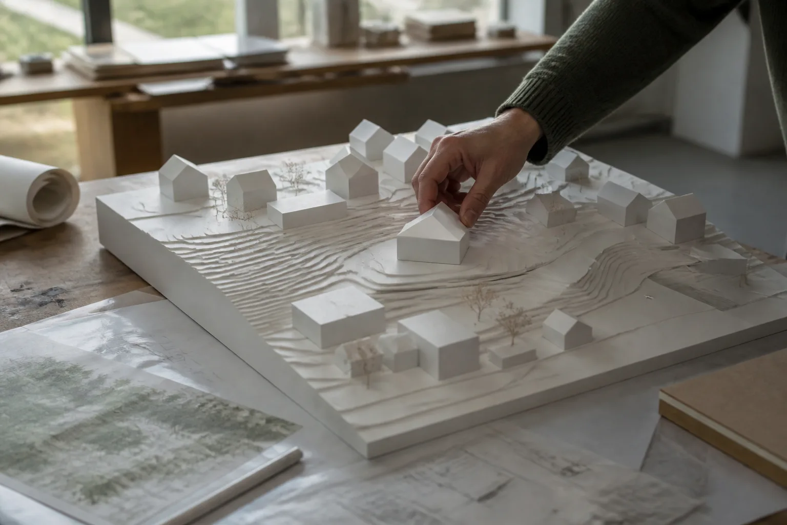
3D site context for architects
3D Site Context for Architects: Data, Exports and Review Checklist
Build useful 3D site context from terrain and surrounding buildings. Check height assumptions, units, coordinates and export quality before design handover.
Read